- | 9:00 am
This methane-detecting satellite will track down polluters from space
Reducing methane is one of the fastest ways to slow down global warming, and a new satellite from MethaneSAT can help.


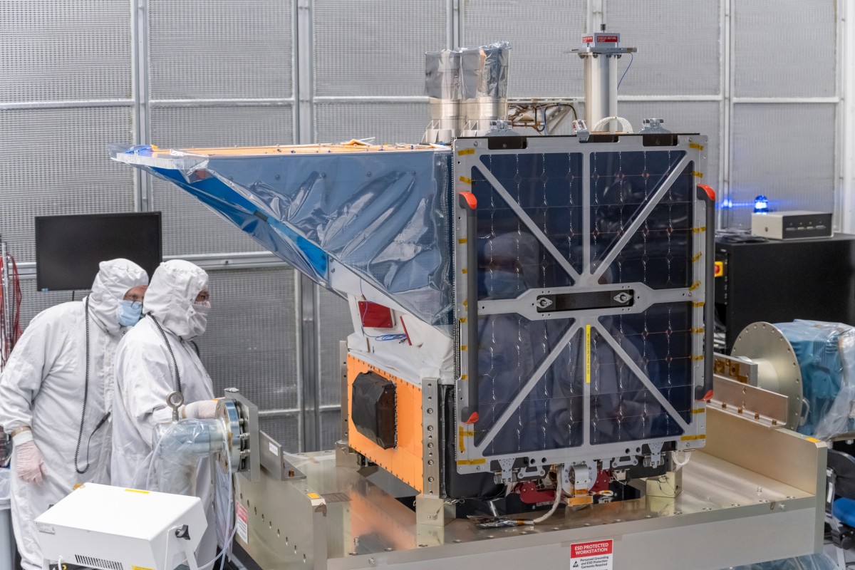
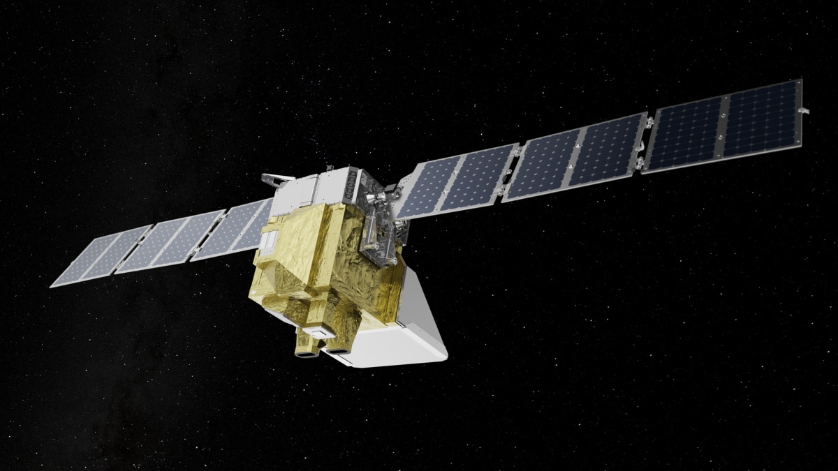
A new satellite that launched today is designed to find methane leaks anywhere in the world—and could be a powerful tool in the fight against global warming.
Methane is more potent than CO2 in the short term, with around 80 times more warming power. And while CO2 can last centuries, methane lasts only around 12 years. Making big cuts in methane emissions can have an outsize impact. “It’s an opportunity over the next couple decades to slow things down,” Steven Hamburg, project lead for MethaneSAT, the new satellite, said at a press conference.
Oil and gas companies are one of the biggest sources of the problem and were responsible for around 135 million tons of methane emissions last year. The fixes are typically cheap and easy; when there’s a leak, companies might just have to replace a broken valve or seal.
New regulations in the U.S., set to be released later this week, will require the fossil fuel industry to slash methane emissions. China and the EU are also working to rein in the emissions. More than 50 oil and gas companies also recently pledged to nearly eliminate methane emissions by the end of the decade.
The new satellite, which will share its data publicly, can help companies quickly identify leaks while also helping governments and activists hold polluters accountable. (The data won’t be available immediately, but the platform will ramp up throughout the year.) In the past, oil and gas companies have self-reported their methane emissions based on engineering calculations. But research showed that actual emissions in the U.S. are around 60% higher than what companies reported.

The project spun out of the Environmental Defense Fund (EDF), which has been tracking methane emissions from the oil and gas industry for more than a decade using planes, drones, and other tools. A few other satellites are also tracking methane emissions now, but they look for large leaks or just track the overall level of methane in the atmosphere. EDF worked with scientists at Harvard to make the new satellite capable of tracking both large and small emissions over a large area, and pinpointing the sources.
Inside the satellite, roughly the size of a washing machine, spectrometers point down at the Earth and detect methane molecules in reflected sunlight. Google partnered on the project to use AI to map global oil and gas infrastructure, and will share data from the satellite on Google Earth Engine. The satellite can also be used to find methane emissions at other sources, including landfills.
If oil and gas companies act quickly, the impact could be significant: EDF has calculated that it’s possible for the industry to cut methane emissions in half by 2030, which could cut the rate of global warming over the next few decades by more than 25%.