- | 12:00 pm
We’re missing key data to save the planet. Here’s how space could hold the answer
The space industry has the potential to unlock more data and have a major impact on how we study our warming planet.

Climate change moves quickly. From California’s atmospheric rivers to Asia’s heatwave to the Chilean wildfires, the extremes we’re experiencing today require an all-hands approach to improve environmental conditions for our planet. Over the past decade, we’ve seen a surge in technological advancements that have enhanced our ability to monitor and understand the world around us.
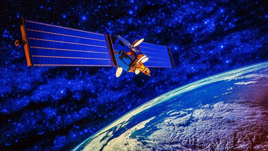
One of the most exciting developments in the fight against climate change lies in the rapid growth of the space industry over the past few years, which has the potential to unlock more data and have a major impact on how we study our warming planet.
Satellites can reveal ways human activity and rising temperatures have impacted our planet, and more importantly help us take action before it’s too late. In my work building hyperspectral satellites at Pixxel and helping companies and organizations around the world reduce our collective environmental impact, I see three main areas where space data can revolutionize how we protect the Earth.
TRACKING CHANGES ACROSS VEGETATION
Vegetation plays a vital role in regulating Earth’s climate by absorbing carbon dioxide and helping regulate the planet’s water cycle. This creates a negative feedback loop, as deforestation leads to higher carbon dioxide levels, which in turn leads to further warming and changes in weather patterns.
Recent studies have recorded that the Amazon, one of the most important natural carbon sinks in the world, is releasing higher carbon emissions than it is absorbing, due to deforestation and higher rates of wildfires. Additionally, climate change influences many natural disturbances that threaten forest health, including insect outbreaks, invasive species, wildfires, and storms.
Historically, it’s been difficult to accurately monitor how these changes are happening in real time, as changes in temperature, atmospheric carbon dioxide, and the frequency and intensity of extreme weather all have significant impact on plant life. Hyperspectral satellite data has the unique advantage to provide highly detailed and accurate information about vegetation on Earth’s surface. These satellites can identify specific chemical signatures that correspond to different types of plants and detect subtle changes in their health and growth over time, like early signs of disease, nutrient deficiencies, and other stressors that could affect crop yields or forest health.
Being able to detect soil diseases and forest health quickly through hyperspectral tech will equip farmers and forest managers with the data they need to make more informed choices about planting, fertilizing, harvesting, and conservation efforts.
Increasing transparency in carbon marketplaces
As we shift toward a low-carbon economy, companies are seeing increased pressure from consumers and investors to offset carbon emissions. More than 5,000 companies have recently signed a U.N. pledge to eliminate or offset their greenhouse-gas emissions by 2050.
However, it’s notoriously difficult to determine the accuracy and reliability of carbon offset credits, as it can be difficult to verify the carbon sequestration activities that they represent. With the rapid growth in carbon credit marketplaces, it’s important that the companies adopting these practices are delivering the climate benefit they promise.
Satellite data can provide a layer of ground truth for carbon offsets and removal projects, by rendering accurate measurements of carbon stocks in forests, wetlands, and other carbon sinks. This will validate the legitimacy of carbon credits, providing greater transparency and accountability in the carbon market.
Aiding in disaster response
According to Oxfam International, the number of climate-related disasters has tripled in the past 30 years. As extreme weather events and environmental disasters occur at accelerated rates, it’s more crucial than ever that emergency response teams and climate scientists have access to real-time earth observation data to act quickly. In the aftermath of natural disasters such as hurricanes and wildfires, hyperspectral satellite data can be used to identify areas of destruction, assess damage to surrounding landscapes, and help forecast future events.
Hyperspectral data can also aid in preventing environmental disasters like water contamination from tailings dams, for example, by detecting threats before they become perceivable to the human eye. Recent advancements have also made this data more accessible for those outside of governments and defense organizations. In the hands of first responders and climate scientists, hyperspectral space data can help deploy resources more effectively and monitor the rebuilding process.
When it comes to the well-being of our only planet, it’s imperative to continue to explore how technology across industries can help shape our understanding of the natural world around us. As we look to the skies for answers about climate change, hyperspectral satellites represent a significant leap forward, and what lies beyond our atmosphere will continue to play an increasingly important role in addressing some of the most pressing environmental challenges we face on Earth.


