- | 2:00 pm
Vegetation monitoring in Saudi Arabia gets an AI upgrade
The new program contributes to the overall Saudi Green initiative.
Now accepting applications for Fast Company Middle East’s Most Innovative Companies. Click here to apply.
Saudi Arabia’s area is estimated at 2 million square kilometers, and multiple terrains and a diverse vegetation cover, including forests, pastures, national and wild parks, coasts, and islands, characterize it. AI and remote sensing can make studying, monitoring, and following up on these land coverages easier.
A program to monitor, evaluate and study the vegetation cover areas via remote sensing techniques and artificial intelligence (AI) was announced by Saudi Arabia’s Minister of Environment, Water, and Agriculture, Abdulrahman Al-Fadhli. The initiative will contribute to the goals of the afforestation projects and the Saudi Green Initiative.
Khaled Bin Abdullah Al-Abdulqadir, CEO of the National Center for Vegetation Development and Combating Desertification (NCVC), said that the techniques are to monitor the change in the vegetation cover at the sites of afforestation projects, monitor the land cover and the change in its area, calculate the amounts of rain and the density of vegetation cover, as well as monitoring and controlling the plant health.
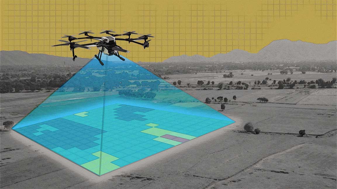
He added that AI and remote sensing techniques especially allow for the monitoring and follow-up of the mangrove forests stretching across the kingdom’s coasts. This is in addition to following up on afforestation and irrigation works using drones, calculating the number of trees, and following up on sand encroachment and its impact on vegetation cover.
Implementing AI and remote sensing will also aid in studying land cover classifications and their suitability for plant species.
The NCVC works to develop, protect and control vegetation sites throughout the kingdom, rehabilitate degraded ones, and detect encroachments on them.


