- | 2:00 pm
Dubai’s RTA deploys LiDAR tech to scan 80km of roads daily with 95% accuracy
LiDAR can scan up to 80 km of roads daily—96% more than traditional methods—and operate at speeds between 30 and 100 km/h.


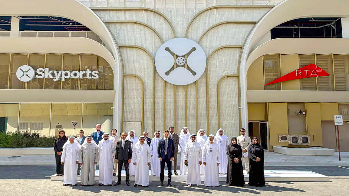
Dubai’s Roads and Transport Authority (RTA) has adopted advanced LiDAR (Light Detection and Ranging) technology to enhance road infrastructure assessments and improve the precision of data powering its digital twin platforms.
The initiative marks a move toward preventive, predictive, and proactive maintenance, underscoring RTA’s commitment to smart technologies that improve the sustainability and safety of Dubai’s road network.
RTA has adopted the latest LiDAR (Light Detection and Ranging) technology to assess the condition of road assets and enhance the accuracy of data used in digital twin platforms. The initiative supports the development of preventive, predictive, and proactive maintenance… pic.twitter.com/8I7j9J9haw
— RTA (@rta_dubai) April 9, 2025
Hussain Al Banna, CEO of the Traffic and Roads Agency at RTA, stated, “LiDAR technology delivers a remarkable boost in performance and speed, delivering up to 300% compared to traditional visual inspections. Such advancement reflects RTA’s dedication to accelerating digital transformation and leveraging cutting-edge technologies to enhance the quality of Dubai’s road infrastructure while safeguarding its efficiency, resilience, and long-term sustainability. The initiative aligns with the leadership’s vision of positioning Dubai as a smart and sustainable city worldwide.”
He added, “LiDAR offers superior accuracy and speed in evaluating the condition of road assets, delivering up to 95% accuracy compared to conventional methods. As such, it contributes to enhancing data quality and facilitates more informed and efficient maintenance decision-making. The technology also allows for the safe and efficient inspection of elevated assets along highways and major roads, such as lighting poles, traffic signals, and road signs, thereby boosting road safety and reducing the risks associated with manual inspections.”
Al Banna noted that the technology can scan up to 80 km of roads daily—96% more than traditional methods—and operate at speeds between 30 and 100 km/h without interrupting traffic. “This advanced technology delivers highly accurate data and detailed analysis of asset conditions, supporting the long-term sustainability of the Assets Condition Index (ACI),” he concluded.

Featured Videos
Today's Top Stories:
More Top Stories:


FROM OUR PARTNERS