
- | 12:00 pm
Dubai Municipality joins Digital Twin Consortium to advance virtual city planning
The membership builds on the emirate’s 3D mapping of more than 195,000 buildings and will support wider use of virtual city models across urban planning and infrastructure
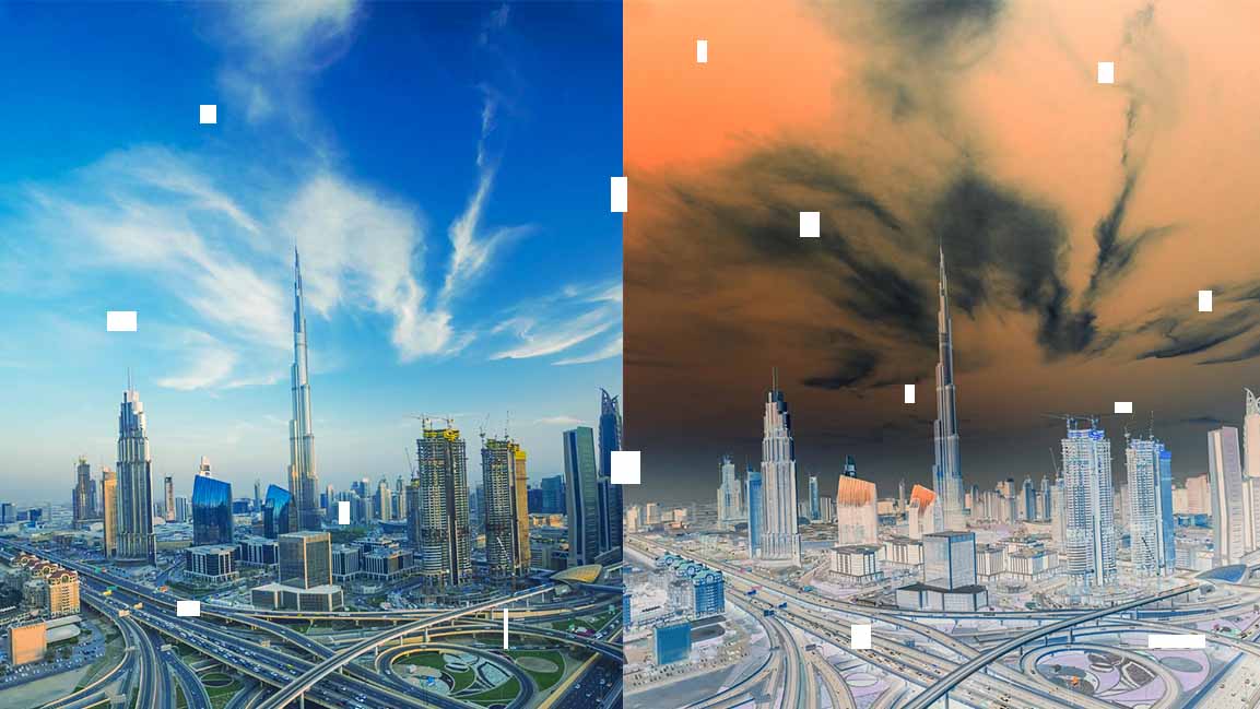


Dubai Municipality has joined the Digital Twin Consortium (DTC), a global organization working to advance digital twin technology, as the emirate expands the use of virtual models to plan infrastructure and manage its continued urban growth.
The membership, which consists of 170 diverse global entities, will give the municipality access to international expertise and emerging applications of digital twins, geospatial data, artificial intelligence and predictive analytics. It will also allow Dubai to contribute to the development of standards governing how digital twins are built and used.
Dubai has already made significant advancements in this space, particularly through Dubai Municipality’s Geographic Information Systems (GIS) Center. The center combines location-based data on buildings, roads and infrastructure with 3D models to simulate real-world conditions and improve urban planning and service delivery.
During the meeting, the GIS Centre delegation presented Dubai’s experience in using digital twin technologies to transform geospatial data into a digital representation. The Dubai Municipality has created 3D models of more than 195,000 buildings and integrated its digital twin platform with the No Objection Certificate (NOC) system, developed in collaboration with utility entities across the emirate.
According to Maryam Al Muhairi, CEO of the Building Regulation and Permits Agency at Dubai Municipality, joining the consortium will continue those efforts to integrate advanced technologies across urban planning, decision-making and sustainable development.
“Dubai Municipality’s membership in the Digital Twin Consortium builds on the GIS Centre’s work to develop an integrated ecosystem for geospatial data and advanced technologies and expand their application across planning, decision-making and sustainable urban development.”
Eng. Maitha Al Nuaimi, Director of the GIS Centre Department at Dubai Municipality, said participation in the Digital Twin Consortium gives Dubai Municipality an important channel for exchanging knowledge and examining how digital twin technologies can continue to evolve in different markets and applications.
“Our focus is on translating relevant global expertise into practical value for Dubai, strengthening the use of geospatial data in infrastructure development and enabling more informed decision-making across government entities and activities. This supports the continued development of solutions that enhance the city’s operational efficiency and future readiness.”
Participants from 10 countries also presented their experiences, technologies and applications, providing an opportunity to compare approaches and explore emerging international practices in the field.
Dubai Municipality’s membership in the Digital Twin Consortium is part of its broader efforts to expand international collaboration in geospatial technologies and to strengthen the application of advanced digital solutions in managing Dubai’s continued urban development.

Featured Videos
Today's Top Stories:
More Top Stories:



FROM OUR PARTNERS